Sage Fischer · 29 September 2026
Drone Surveys Offer Fresh Insights into Forest Health for Private Owners in the Northeast
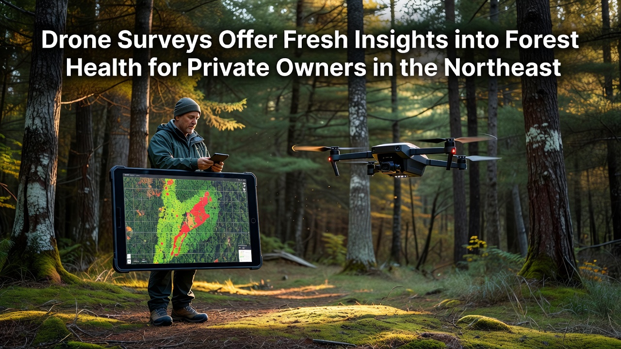
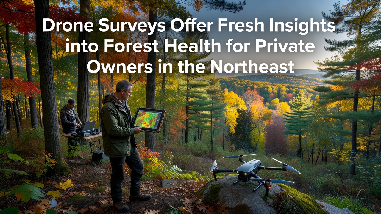
Private forest owners across the Northeast have turned to drone technology in recent years to gather detailed information about tree conditions and overall stand health, and surveys conducted through 2025 and into September 2026 show expanded use of these tools on parcels ranging from 20 to 500 acres. High-resolution multispectral cameras mounted on unmanned aerial vehicles capture data on canopy density, leaf discoloration, and soil moisture variations that traditional ground walks often miss, while operators fly pre-programmed grids at altitudes between 80 and 120 meters to produce orthomosaic maps and 3D point clouds.
Technology Behind the Surveys
Researchers at several northeastern universities have documented how drones equipped with normalized difference vegetation index sensors detect early stress signals in hardwood and softwood species, and data collected from flights over mixed oak-pine stands in Pennsylvania and New York indicate that canopy gaps as small as two meters become visible in post-processed imagery. Software platforms stitch thousands of overlapping photographs into georeferenced layers, which foresters then overlay with existing property boundaries and soil maps to identify zones requiring closer inspection, and this workflow reduces the time spent on foot from several days to a few hours per hundred acres.
Applications for Private Landowners
Private owners who contract drone services receive reports that include tree count estimates, average diameter at breast height projections derived from crown measurements, and heat maps highlighting areas of declining vigor, while state extension programs in Maine and Vermont have begun recommending these surveys as part of annual management planning cycles. In one documented case, a 180-acre parcel in the Catskills revealed scattered pockets of fungal infection through repeated flights spaced six weeks apart, allowing the owner to schedule targeted sanitation cuts before the issue spread further across the property. Figures from the U.S. Forest Service show that northeastern states contain over 12 million acres of privately held forestland, and adoption of aerial monitoring has increased steadily since 2022 as equipment costs dropped below $8,000 for entry-level systems capable of producing actionable data.
Developments Through September 2026
By September 2026, updated FAA remote identification rules had streamlined operations for certified pilots working on private land, and several regional cooperatives now maintain shared drone fleets that members schedule through an online calendar system, while preliminary results from a multi-state project coordinated by the University of New Hampshire indicate that drone-derived biomass estimates align within 12 percent of traditional prism sampling when calibrated against field plots. Owners also receive guidance on integrating survey outputs with existing forest management plans, and software tools allow comparison of current imagery against historical leaf-off photos to track regeneration success after selective harvests completed in prior seasons.
Integration with Existing Practices
Many consultants combine drone flights with periodic ground verification to confirm species identification and measure understory conditions that aerial sensors cannot resolve, and this hybrid approach has become standard for properties enrolled in cost-share programs that require documented inventory updates every five years. Data collected during September flights often capture late-season color changes that signal nutrient deficiencies or drought stress, giving owners an additional window for management decisions before winter sets in, while winter flights over snow cover help delineate wetland boundaries and identify windthrow damage that occurred during fall storms.
Cost and Accessibility Trends
Service rates for a complete drone survey on a 100-acre parcel currently range from $1,200 to $2,400 depending on terrain complexity and report detail level, and several northeastern consulting firms now bundle aerial data with traditional timber cruising to provide a single comprehensive assessment package. Equipment manufacturers have introduced ruggedized models with extended battery life that allow coverage of larger contiguous ownerships in a single day, and cloud-based processing services reduce the need for owners to purchase high-end computers for map generation.
Future Data Uses
Longer-term datasets built from repeated drone missions enable tracking of growth rates across different management regimes, and researchers continue to refine algorithms that convert spectral signatures into estimates of foliar nitrogen content and insect defoliation severity. Private owners who maintain multi-year records can demonstrate changes in forest structure when applying for certification programs or conservation easements, and some insurance providers have begun requesting aerial imagery as supporting documentation for damage claims following ice storms or derechos.
Conclusion
Drone surveys have become a practical addition to the toolkit available to northeastern private forest owners, supplying spatial data that complements traditional field methods and supports timely management responses. As technology continues to advance and more operators gain certification, the volume of accessible information about individual woodlots is expected to grow, giving owners clearer pictures of conditions across their holdings without requiring extensive on-site labor.